The South China Sea

An online resource for students, scholars and policy-makers interested in South China Sea regional development, environment, and security issues.

Skip to content
  • Home
  • Introduction
  • Institutions
  • Maps
    • Economic Maps
    • Environmental and Oceanographic Maps
    • Historical Maps
    • Legal and Political Maps
    • Territorial Claims – Maps
  • Publications
    • A – D
    • E – J
    • K – O
    • P – S
    • T – Z
  • Images
  • Key Terms
  • Research Guide
The South China Sea

Historical Maps

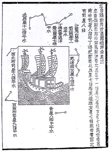
Cheng Ho’s Star Atlas:
–http://vm.nthu.edu.tw/southsea/english.history2_3.htm
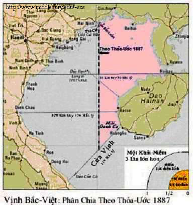
French-Chinese map of Tonkin Gulf – 1887
India Orientalis, J. Hondius, 1606, Suarez, 1999
Indies, Petrus Plancius, 1594, J. Fisscher, 1617, Suarez, 1999
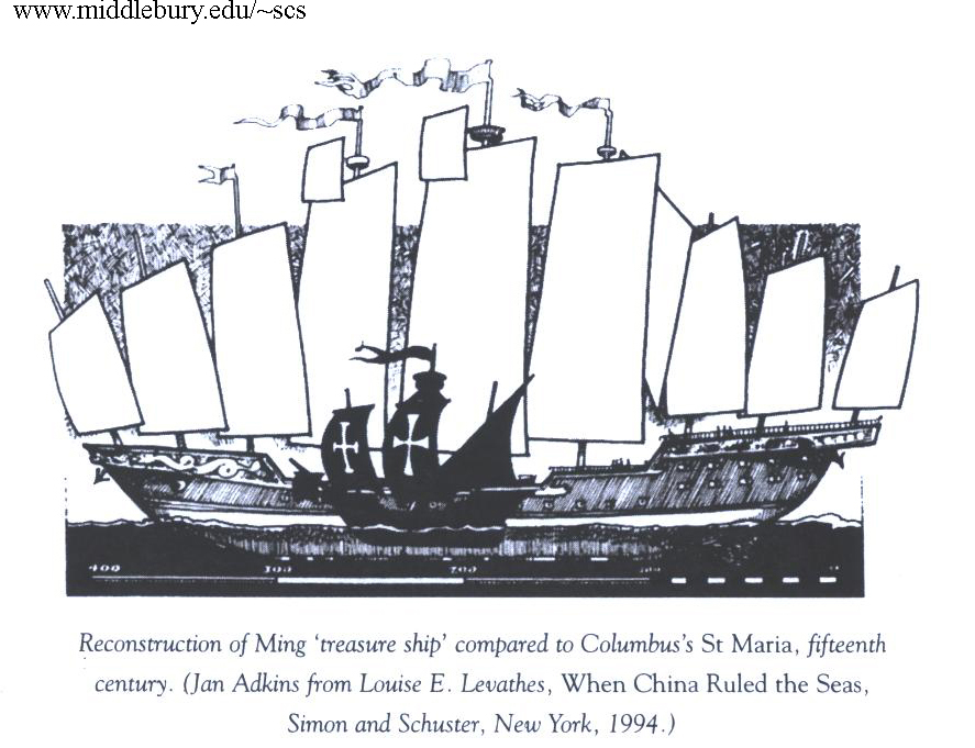
Ming treasure Ship and St. Maria
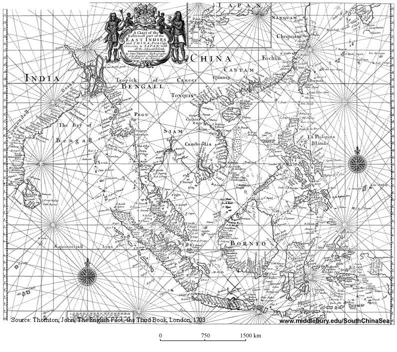
Oldest British Map of the South China Sea

Search this Site

Google Web Search

  • Environment
  • Fisheries
  • Malacca
  • Piracy
  • Pollution
  • Ports
  • Security
  • Shipping
  • Spratly

Login

  • Log in
  • Entries RSS
  • Comments RSS
  • The Middlebury Sites Network
Editor: David Rosenberg
About this Site
Proudly powered by WordPress